The Palisades fire broke out Tuesday at 10:30 a.m. amid dangerously high winds and dry conditions, leaving dry vegetation primed to burn.
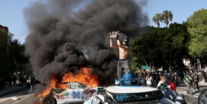
In a matter of days, the fire has consumed more than 17,000 acres, with 0% containment. Officials say more than 5,000 homes, businesses and other buildings have been destroyed, according to preliminary estimates. At least one person has died as a result of the fire.
These maps show the blaze’s rapid spread.
That afternoon, flights over the fire begin capturing the perimeter with infrared cameras, estimating its area to be about 770 acres.
Around noon, a large area east of Topanga Canyon Boulevard and west of Merrimac Road is evacuated.
Hours after ignition, the fire spreads across more than 1,000 acres in Topanga State Park on the eastern side of the Santa Monica Mountains.
During the evacuation, about 30 cars are abandoned on Sunset Boulevard and Palisades Drive. Fire officials use a bulldozer to clear the road.
In three hours, the fire more than doubles in size. Crews struggle to control the blaze due to the persistently strong winds and mountain terrain.
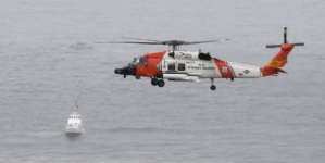
Los Angeles Fire Department Chief Kristin Crowley said that all aircraft were grounded Tuesday night at about 7:30 due to high winds, and remained out of the air through at least 9 a.m. Wednesday.
Around 1 p.m., officials were able to map the perimeter once again. Over the course of 27 hours, the fire had grown to 15,000 acres and counting, reaching the eastern flank of the last month’s Franklin fire.
Track this fire live