-
Brooklyn Beckham won’t reconcile with parents Victoria and David Beckham - 21 mins ago
-
Miami (OH) Coach Fires Back at Those Discrediting RedHawks’ Undefeated Record - 35 mins ago
-
Ellen DeGeneres responds to Minneapolis protests and ongoing unrest - about 1 hour ago
-
Big Bets Report: Unique $34 8-leg Parlay Cashes for $10k - about 1 hour ago
-
Kiefer Sutherland reportedly accused of punching, choking Uber driver - 2 hours ago
-
NBA Announces All-Star Game Starters; U.S. vs. World Format Now on Its Way - 2 hours ago
-
NFL Conference Championship Game Buzz: Charbonnet Done for Season; Dobbins Returning? - 3 hours ago
-
Caitlin Clark Sends Message to Indiana Before National Championship Game - 3 hours ago
-
Wintry week ahead with multiple rounds of cold and snow into the weekend - 3 hours ago
-
‘Unacceptable’: AFCON Winners Senegal Faces Discipline After Chaotic Finish - 3 hours ago
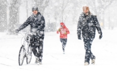
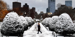
Wintry week ahead with multiple rounds of cold and snow into the weekend
Harsh winter weather was being blamed for a 100-car pileup near Grand Rapids, Michigan that forced police to shut down Interstate 196 in both directions for hours, the local NBC affiliate WOOD reported.
In addition to lake effect snow, the next clipper system will dive out of Canada on Tuesday and bring a round of snow to the Dakotas, Minnesota (including light amounts for Minneapolis) and Iowa.
On Wednesday, the same clipper will zip across the Great Lakes (bringing light snow for Chicago) in the first half of the day, then bring some snow to the interior Northeast and New England by the second half.
While the cold and snow in the first half of this week will make for wintry scenes, the snow totals will not be blockbuster and the cold not record-setting.
The next round of cold and potential winter storm shaping up for later this week, however, could be both record-setting and disruptive.
Beginning on Friday, the next blast of arctic air will affect the northern Plains and Upper Midwest first, and then other parts of the Plains, the Midwest, and eventually the Southeast and Northeast through the weekend.
Wind chills this weekend are forecast to be as cold as 30 below zero, with some localized areas experiencing wind chills that could be as cold as 40 to 50 below zero. For the Northeast and New England, wind chills are already forecast to be below zero by Sunday.
The cold temperatures this weekend will be the coldest air of the season so far and very well may ultimately be the coldest air of the entire season.
How far this arctic air plunges south will determine the scope of a winter storm in the making. As of Monday morning, the signal was growing for a high-impact winter storm that could bring widespread snow and ice across the southern tier of the U.S. from Friday through Sunday.
This system will likely affect the southern Plains, lower Mississippi Valley and Southeast with wintry precipitation. There is also potential for this wintry precipitation to spread north into the Northeast over the weekend, but forecasters warned there is too high uncertainty in this potential for any more detail this far in advance.
Forecasters also cautioned that even as model guidance converges on the possible scenarios surrounding this winter storm, it is still impossible to predict exact details of precipitation amounts and where the rain, snow and ice line will set up.
However, meteorologists were confident enough on Monday to start messaging the potential risks for people who may be affected, including the National Weather Service in Fort Worth, Texas, which warned of freezing temperatures and the potential for a messy wintry system later this week.
As the forecast comes into better focus, it is looking more likely that the second half of January will feature significant winter weather, affecting nearly everyone from the Rockies to the East Coast.
Source link


